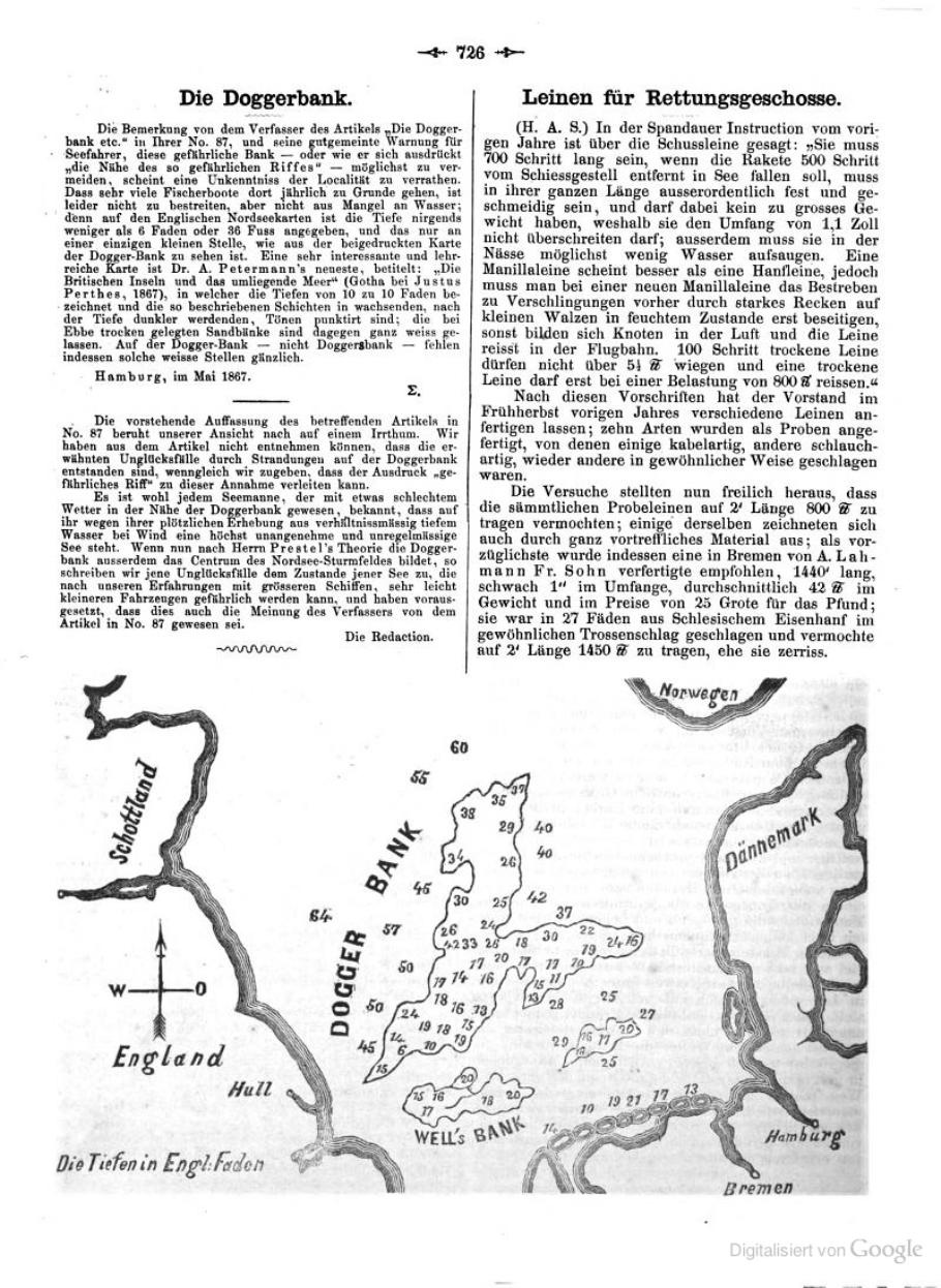
Historical bathymetric chart of Dogger Bank, 1867. A. Petermann; public domain, via Wikimedia Commons. This historical depth chart is not a reconstruction of prehistoric coastlines.Stand at the edge of the sea and it is easy to mistake the shoreline for a permanent boundary. In prehistoric research, that assumption can remove whole landscapes from the map before an investigation has begun.

The question is not whether every submerged shelf held a lost city. It is how much evidence of ordinary human lives now lies beyond the coast—and how archaeologists can recognize it without confusing a suggestive object with a securely understood site.
EVIDENCE · The map has changed
A reconstruction by Kurt Lambeck and colleagues placed global sea level near 134 metres below its present level around the end of the Last Glacial Maximum. Their study describes a long, uneven rise rather than one uniform flooding event. Global estimates also require models; local shorelines depend on land movement and regional conditions as well as ocean volume. Lambeck and colleagues, 2014.
For archaeology, the implication is practical. Places that are offshore today may once have been reachable on foot. A modern coastline cannot simply be used as the edge of every earlier inhabited world.
A case from Murujuga Sea Country
In 2020, Jonathan Benjamin and colleagues reported underwater stone artifacts off Murujuga in northwestern Australia. Cape Bruguieres contained more than 260 recorded artifacts; a separate find at Flying Foam Passage was associated with a submerged freshwater spring. Their investigation combined remote sensing, diving, comparisons with material on land, and analysis of the landscape’s formation. The original study.
INTERPRETATION: The authors argued that the material survives on pre-inundation surfaces. That conclusion depends on contextual reasoning, including whether marine processes could have moved artifacts from elsewhere. It is not equivalent to directly dating the manufacture of each stone tool.
Why the correction matters
The journal published a correction in 2023, supplying additional methodological information and correcting data and analyses. An editorial-board review found that the revised analyses still supported the published results. The correction also clarified language identifying the site-formation conclusions as the authors’ interpretations. Benjamin and colleagues, 2023 correction.
This is precisely the distinction a research desk should preserve. Artifacts were documented underwater. The history of how they arrived at their present positions requires an argument. Debate over that argument is part of assessing the site, not a reason to replace it with either certainty or blanket dismissal.
From an object to a human landscape
A useful investigation asks several questions in sequence. Is the object an artifact? What is its recorded position? What processes have affected the surrounding deposit? What dates constrain the context? Which conclusions remain possible after alternative explanations are considered?
Skipping those steps produces a powerful image and a weak history. A stone tool can be important without proving a village. A submerged channel can be worth surveying without proving that people used it as a migration corridor. A promising hypothesis gives researchers somewhere to look; it does not count as the discovery itself.
The same restraint applies to illustrations. A historical depth chart can show an earlier attempt to map the sea floor. It cannot serve as a dated reconstruction of an Ice Age coastline unless the underlying reconstruction has actually been made and explained.
OPEN QUESTION · What remains to be found?
The most useful future discoveries would connect objects with preserved surfaces, environmental evidence, and independent chronological constraints. Several well-understood contexts would tell us more than a dramatic isolated find stripped of its surroundings.
We also need to keep people in the story. The Murujuga study includes the Murujuga Aboriginal Corporation among its participating institutions. These landscapes are part of cultural heritage, and a research account should identify the communities and collaborators involved rather than present every offshore find as an unclaimed mystery.
The sea has changed the archive available to us. Recovering its human history means rebuilding relationships between material, place, and time. That work may reveal remarkable discoveries, but its value does not depend on finding a spectacular lost civilization. A campsite, a tool-making place, or evidence of a freshwater source can transform what we understand about the people who once lived there.
Evidence note: Read the 2020 paper together with its 2023 correction. The distinction between direct observations, contextual age constraints, and proposed site-formation histories is central to the interpretation.